
4·
8 days agoDefinitely fake. Batch identifier plus a lot of things (label quality, top notch) being a bit off, and the stamp code not being CPUENXXXX. https://www.gameverifying.com/wiki/cart-based-systems/nds
Definitely fake. Batch identifier plus a lot of things (label quality, top notch) being a bit off, and the stamp code not being CPUENXXXX. https://www.gameverifying.com/wiki/cart-based-systems/nds
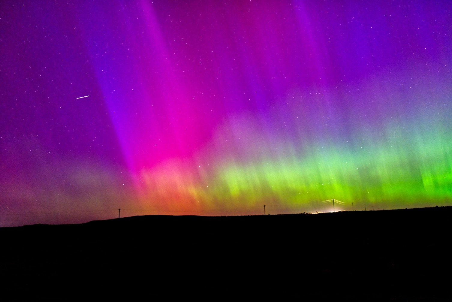
I brought the brightness of the photo up for sure here so that it looks interesting and not dim/dull on your display.
I can tell you from experience though that we were able to see the red, blue, violet, green, and sometimes the yellow on the horizon unaided. Put simply, it was incredible and I wanted this photo to provide the same feeling.
Here’s a photo I transferred to my phone with the transfer app doing a simple jpeg conversion. 2.5 second exposure at ISO 5000, 36mm:
This is perhaps slightly brighter than what I recall seeing on the horizon.
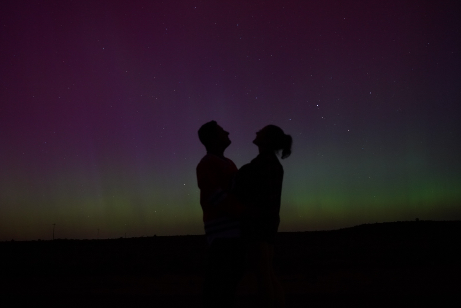
Driving 40 minutes east of Bend brought us down to zero light pollution.
I use mealie, but an older version which still has its recipes public. Still waiting for that to be an option on newer versions.

Why does anyone choose Telegram or WhatsApp over Signal which is encrypted and audited? (Probably features I don’t care about, but they do)

In trying to find privacy-oriented map software, I found OsmAnd as well as OrganicMaps and shortly thereafter began contributing to openstreetmap. It’s actually quite easy and IMO fun to find discrepancies and use your knowledge to help an open data set.
Not only have I seen my edits show up in proprietary softwares, but the area around me is more accurate, to the point where recent construction to the road network was updated on OSM and Apple Maps, but not Google maps.
I just checked and Google maps is still out of date.